USASTRATCOM

This blog was created for USASTRATCOM Long Lines Battalion Army personnel who served in Taiwan during the 1965-72 time frame. Specifically, those who lived and worked in and around Taipei are the target. If you worked at the Grass Mountain or Gold Mountain facilities or anywhere in downtown Taipei, we would like to hear from you. All are welcome to visit and contribute to this blog. Your comments and pictures are encouraged.

Thursday, May 24, 2012

The Church On The Hill

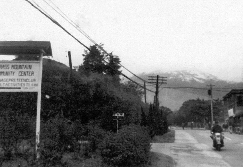
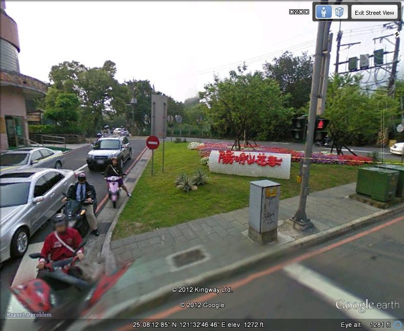
Using Google Earth Street View while putting together the Grass Mountain Community Center post, I ran across this Catholic church on the north side of the hill.

Does anyone know how long it's been there?


Straight up Aifu 2nd Street, following the yellow line is the church, circled in purple.


This overhead view shows the fan-like shape of the roof as well as the space around it.


The approach to the front gate is still on Aifu 2nd Street. Directly to the left are some abandoned BOT "F" houses. 


The church's address is actually No. 2, Huagang Road. Continuing on the road to the left leads to the Chinese Culture University.


Photo by swimming007

This excellent picture shows the Corpus Christi Catholic Church. It has weekly Mass, according to the information  found online.


Well maintained, the church and its side gate are across the street from a parking lot.


Thursday, May 17, 2012

On The South Side Of The Hill


Very close to the Grass Mountain Community Center building is another facility. Its purpose can be defined by this quote:

"Our society must make it right and possible for old people not to fear the young, or be deserted by them, for the test of a civilization is the way it cares for its helpless members."        
 --Pearl S. Buck

South and west of the GMCC is the Taipei Municipal Yang Ming Home For The Disabled.

The approximate 500 residents are those whose mental capabilities are so limited that they otherwise could not live on their own.

This complex wasn't here in 1968, but its history can be read by clicking HERE.


The Grass Mountain Community Center is circled in red. Just west and slightly below it is the residence center circled in blue.


Google Earth Street View shows the approach to the front of the main administration building.

Going in the opposite direction leads to the outskirts of the Chinese Culture University and then becomes another road to Tianmu.


Just a closer look


The gated entrance with the descending road continuing


A bit further with the sidewalk on the right

Photo by Susan Curry


Nearing the complex walls


The name of the institution


This is the end of the road as far as the home for the disabled is concerned.

Continuing on the road to the left will eventually take the rider back to the approach to the GMCC.

Tuesday, May 1, 2012

Grass Mountain Community Center and Teen Club, Taipei, Taiwan

Just one black and white picture of a sign has blossomed into a fulfilled quest. If Larry Barton had only known.

Army LTC Scott Ellinger has been narrowing his search for the Grass Mountain Community Center and Teen Club. In the past his hunches have proven to be pretty much on the money.

In a previous posting, he marked a site where he thought it once stood. Now, its location has been firmly established.

For all of the families who lived in BOT housing, these pictures might look familiar. 

Photo courtesy of Larry Barton

Looking north, the Community Center sign is partially visible on the left (west) side of the road.

Across the road and up a hill was the movie theater and combination snack bar and bowling alley.


Today, a small triangular area is shown. It is just slightly north of the old sign.

The other side of the triangle shows a more direct route to the Teen Club on Kaixuan Road (Sometimes referred to as a Street.). 


The yellow lines show the two entrances to Kaixuan Road, followed by the direct route to the GMCC.


Original PowerPoint slide courtesy of Scott Ellinger

Circled is the community center itself.


This closeup shows not just the two huge additions at either end of the building, but also a swimming pool near the middle.

There is a huge dropoff to the south, down a hill. Others will certainly know what the place looked like in the days of the Korean and Vietnam Wars.


This is just a straight line view down the road to the end of the building.


The road from where the picture was taken is a shortcut to the community center from the F housing area. The street from which this photo was taken is Guotai Street.


To the right of these parked cars is the main entrance. To the left appears to be a guard shack.


Looking straight on, you can imagine how impressive this entrance once was.


With the Chinese Culture University in the background, we are not quite halfway to the end of the community center.

Much of the land around here is leveled as many C and F Housing units were demolished.


With this shot, the deterioration of the building is evident. Either that, or it's in the process of repair. Things change quickly and the date of these pictures might be 2005.

Efforts are being made to persuade the Taiwanese government and the Bank of Taiwan to declare the former C, F, and H housing areas near this building and others to Monument Landmark  status to ensure their preservation.

For more on this click HERE.


Looking back, one can see how wide this building is. Wouldn't you like to see the inside? Maybe not


Near the west end, the place definitely looks shoddy.


Kaixuan Road continues, but the building ends.